All Rentals
Medical
Party
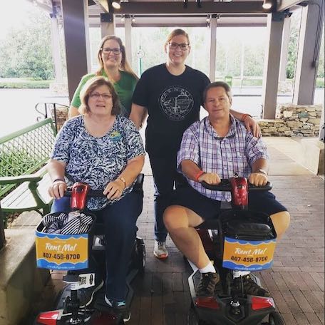
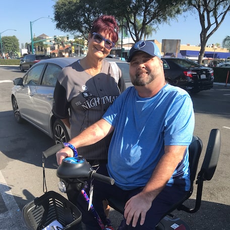
Scooters
Slingshot
Stroller
Wheelchairs


-rental-45-1000w-1.webp)


-rental-26-1000w-2.webp)


Tools & equipment
Last updated May, 2026
Floyds Fork is a 62-mile-long tributary of the Salt River in Kentucky, directly south and east of Louisville. It begins in Henry County, near Smithfield Kentucky, flows through eastern Jefferson County and flows into the Salt River near Shepherdsville in Bullitt County. It runs for about 30 miles through Jefferson County and drains approximately 122 square miles, making it the largest watershed in the county. It is also the least environmentally compromised watershed in the county, according to the Metropolitan Sewer District, as large-scale development in the southeastern portions of Jefferson County is still relatively sparse. To preserve its rural character, much of Floyds Fork south of I-64 was zoned rural residential in 1993. At Mount Washington, Floyds Fork has a discharge of approximately 387 cubic feet per second. The proposed City of Parks initiative by Louisville would purchase 2,000 acres of land along the river and establish three to four parks, as well as hiking and other recreational trails. Floyds Fork is named for John Floyd, an early surveyor of the area.
Add all the Floyds Fork equipment to your shopping cart
Fill out the checkout form with rental dates and delivery location
Make the payment online to confirm your Floyds Fork reservation
We deliver your Louisville scooter rental to all the Louisville area vacation homes, hotels, and Louisville resorts.
The following info will help you clarify certain questions you have about renting and more from Cloud of Goods.