Toutes les locations
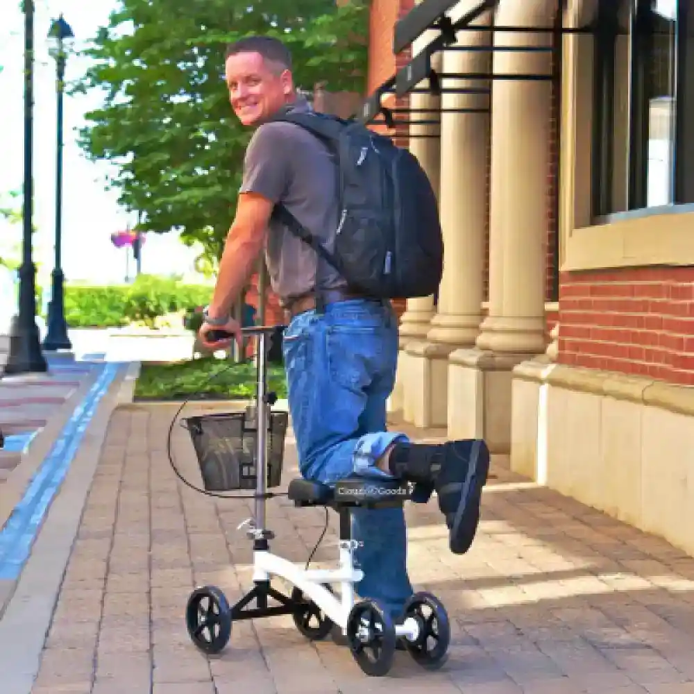
Médical
Party
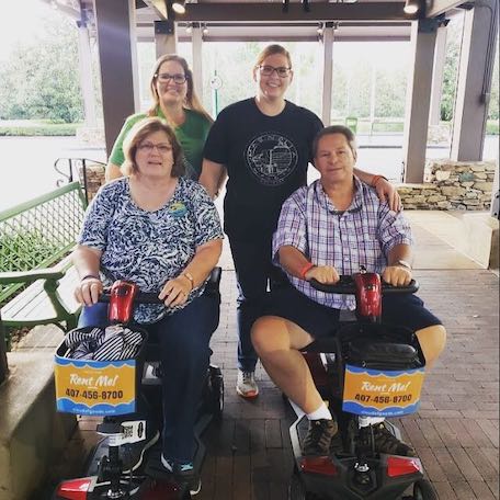
Scooters
Slingshot
Poussettes
Fauteuils Roulants


-rental-45-1000w-1.webp)


-rental-26-1000w-2.webp)


Outils et équipements
Dernière mise à jour February 2026
Some info has been automatically translated. Show original
×The Sierra Azul is a mountain range in Santa Clara County, California. It is the southern half of the Santa Cruz Mountains range, which is divided into two parts by California Highway 17 into what the colonizing Spanish called the Sierra Morena or "Brown Mountains" to the north and the Sierra Azul or "Blue Mountains" to the south. Part of the range is within the Sierra Azul Open Space Preserve. The highest peak is Mount Umunhum, the site of the former Almaden Air Force Station radar site and the current location of a NEXRAD weather radar of the National Weather Service which serves the San Francisco Bay Area and Monterey Bay Area.
Ajoutez tout l'équipement Sierra Azul à votre panier
Remplissez le formulaire de commande avec les dates de location et le lieu de livraison
Effectuez le paiement en ligne pour confirmer votre réservation Sierra Azul
Nous avons la plus grande couverture de livraison de location en Sierra Azul. La plus forte demande concerne les locations San Jose.
Nous livrons votre location de scooter San Jose dans toutes les maisons de vacances, hôtels et complexes hôteliers de la région San Jose.
Les informations suivantes vous aideront à clarifier certaines questions que vous vous posez sur la location et bien plus encore. Cloud of Goods.