Todos los Alquileres
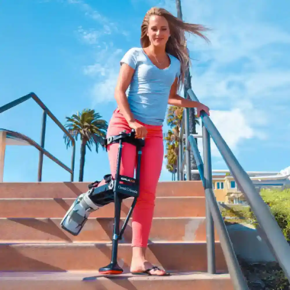
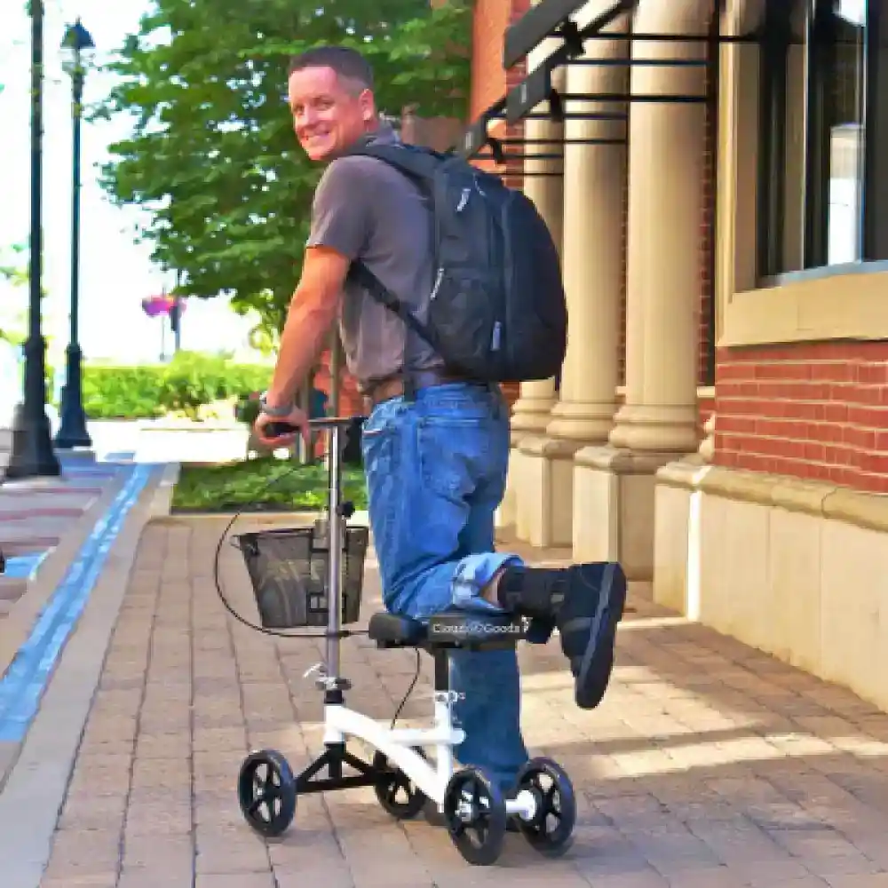
Médico
Fiesta
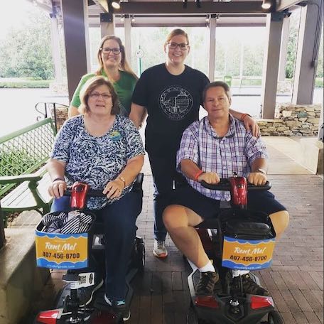
Scooters
Honda
Paseante
Silla De Ruedas


-rental-45-1000w-1.webp)


-rental-26-1000w-2.webp)


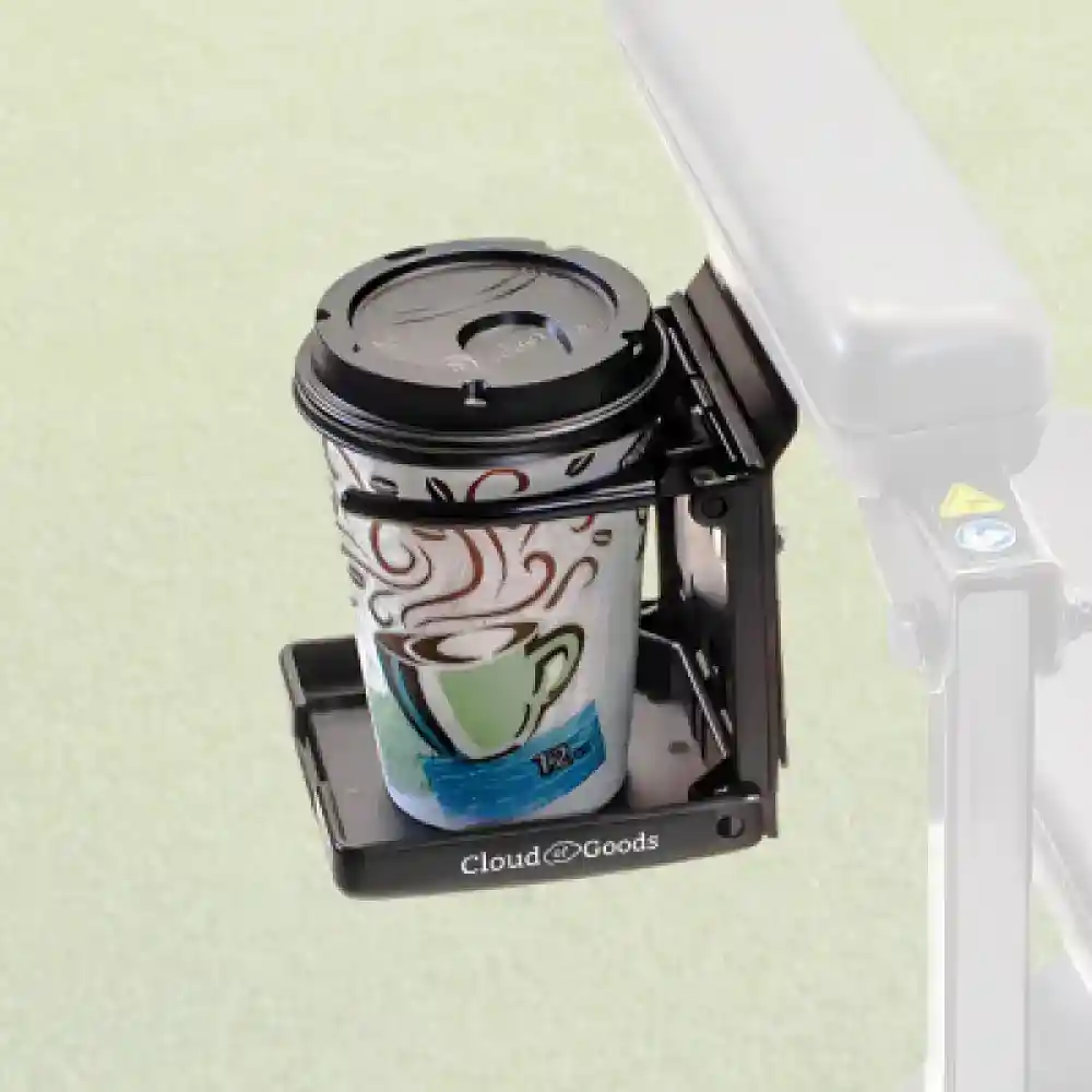
Herramientas y equipamiento
Última actualización: November 2025
Some info has been automatically translated. Show original
×The Sierra Azul is a mountain range in Santa Clara County, California. It is the southern half of the Santa Cruz Mountains range, which is divided into two parts by California Highway 17 into what the colonizing Spanish called the Sierra Morena or "Brown Mountains" to the north and the Sierra Azul or "Blue Mountains" to the south. Part of the range is within the Sierra Azul Open Space Preserve. The highest peak is Mount Umunhum, the site of the former Almaden Air Force Station radar site and the current location of a NEXRAD weather radar of the National Weather Service which serves the San Francisco Bay Area and Monterey Bay Area.
Agrega todos los equipos de Sierra Azul a tu carrito de compras
Completa el formulario de pago con las fechas de alquiler y la ubicación de entrega
Haz el pago en línea para confirmar tu reserva en Sierra Azul
Tenemos la mayor cobertura de entrega de alquileres en Sierra Azul. La mayor demanda es para alquileres en San Jose.
Entregamos tu alquiler de scooter en San Jose a todos los hogares de vacaciones, hoteles y resorts de San Jose.
La siguiente información te ayudará a aclarar ciertas preguntas que tengas sobre el alquiler y más desde Cloud of Goods.