Todos os Aluguéis
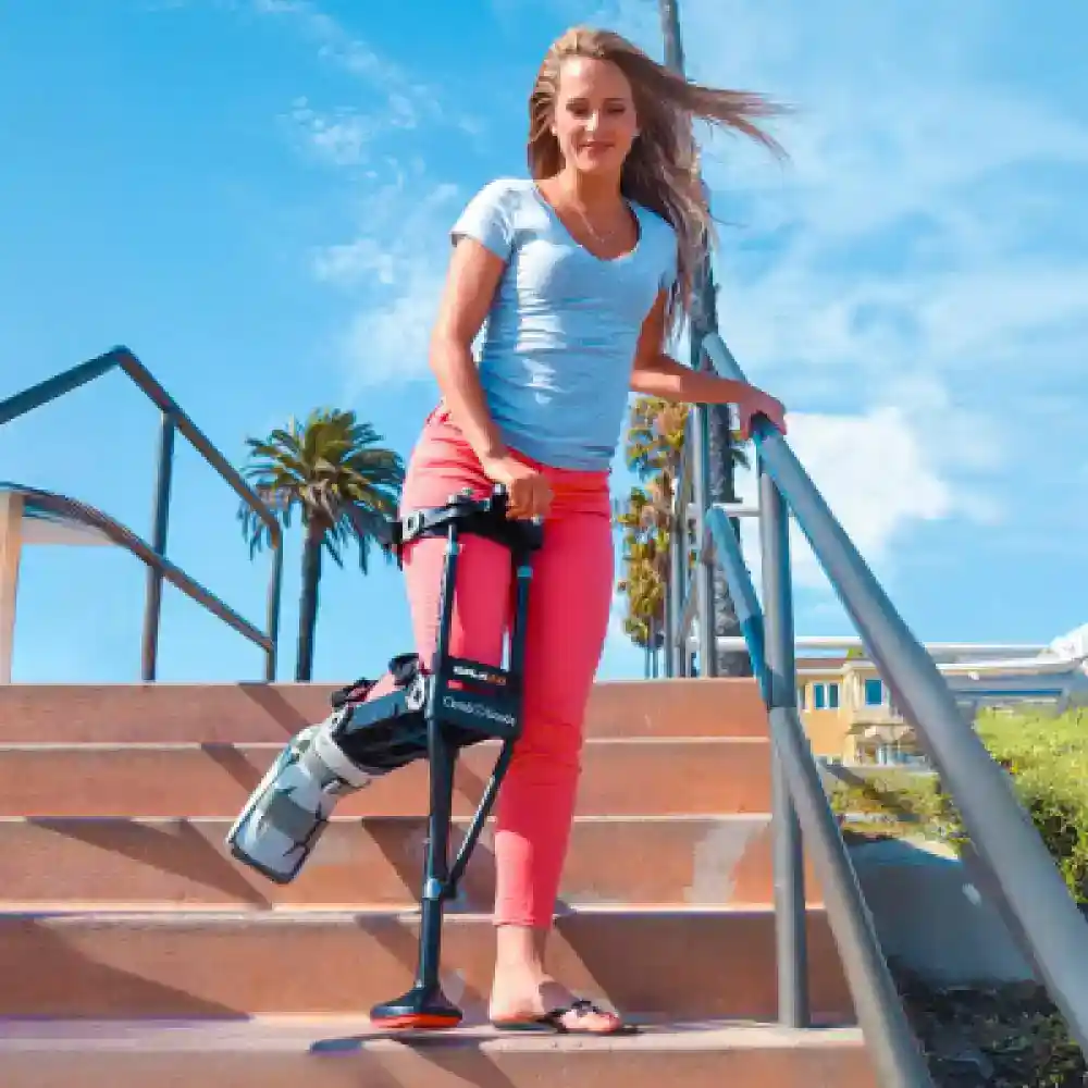
Médico
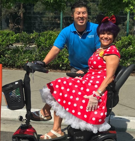
Festa
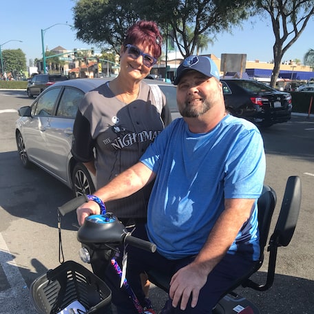
Scooters
Slingshot
Carrinho
Cadeiras De Rodas


-rental-45-1000w-1.webp)


-rental-26-1000w-2.webp)


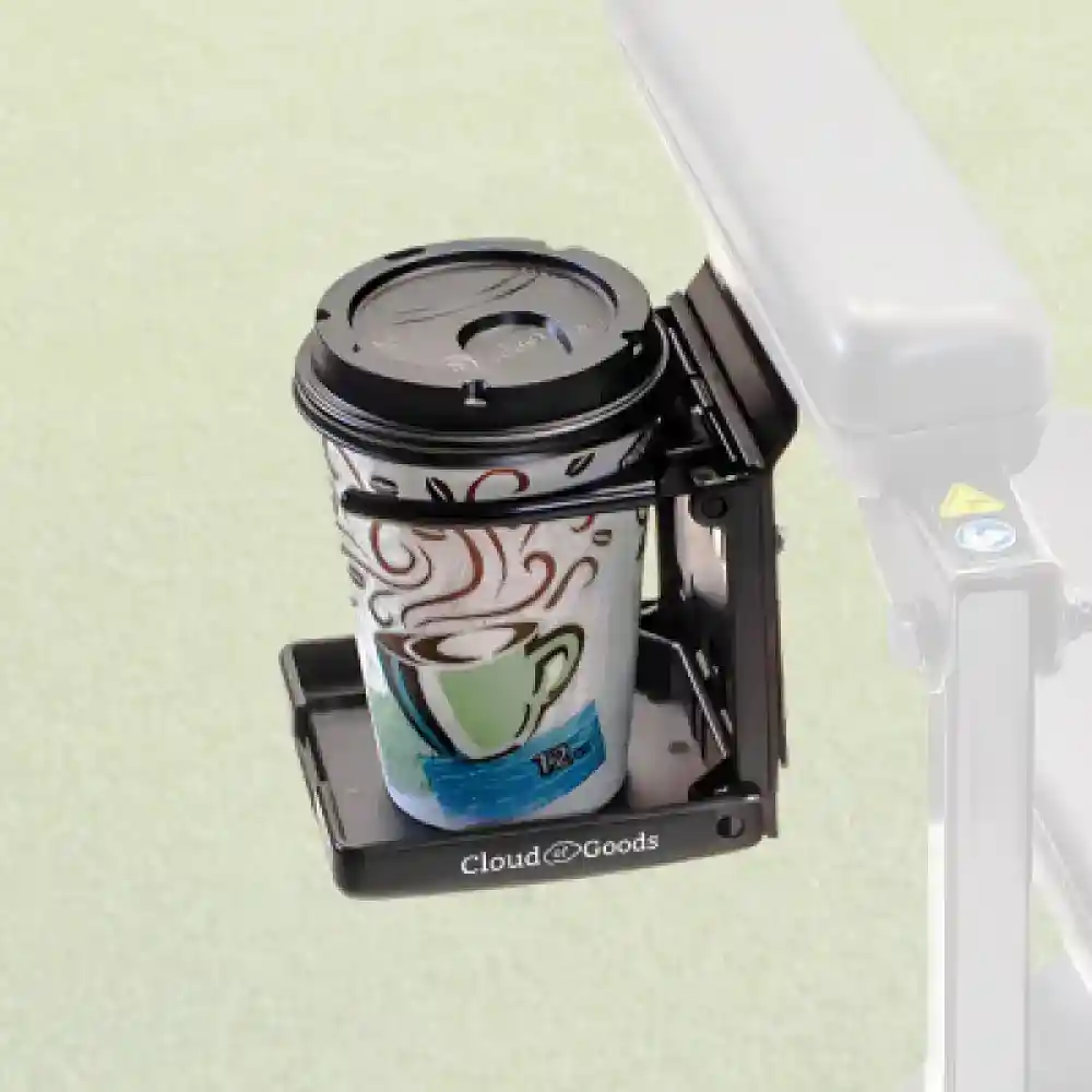
Ferramentas e equipamentos
Última atualização: March 2026
Some info has been automatically translated. Show original
×The Cactus to Clouds Trail is a hiking route in California. It begins in Palm Springs, California, and ascends to San Jacinto Peak. With a net elevation gain of roughly 10,300 feet, it has one of the greatest elevation increases among day-hike routes in the United States. The elevation gain happens in only 16 miles, also making it one of the steeper trails of its length in the world. The trail runs roughly parallel to the Palm Springs Aerial Tramway, and the upper part of the trail runs very close to the Mountain station of the tramway. The initial part of the route is called the Skyline Trail, which climbs 7,900 feet from the desert to Long Valley, in about 11 miles. There, it joins another system of trails, where hikers may gain another 2,400 feet to the summit. The route from the desert to the peak and back to the desert is about 32 miles long. A common way to tackle the hike is to walk the way up to the peak from the valley, then head back to the tram station, and then take the tram back down to the valley floor. Separate records are kept for the climb of Skyline Trail, for C2C, and for C2C2C. A hike up this route typically starts behind the Palm Springs Art Museum.
Adicione todos os equipamentos de Cactus to Clouds Trail ao seu carrinho de compras
Preencha o formulário de checkout com as datas de aluguel e local de entrega
Faça o pagamento online para confirmar sua reserva em Cactus to Clouds Trail
Temos a maior cobertura de entrega de aluguéis em Cactus to Clouds Trail. A maior demanda é para aluguéis em Palm Springs.
Entregamos seu aluguel de scooter em Palm Springs a todas as casas de férias, hotéis e resorts de Palm Springs.
As seguintes informações ajudarão a esclarecer algumas perguntas que você tenha sobre aluguel e mais Cloud of Goods.