Toutes les locations
Médical
Party
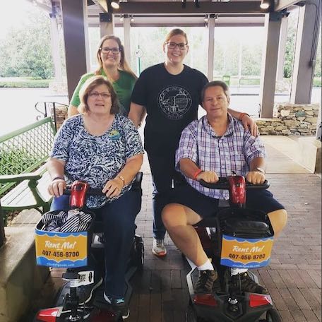
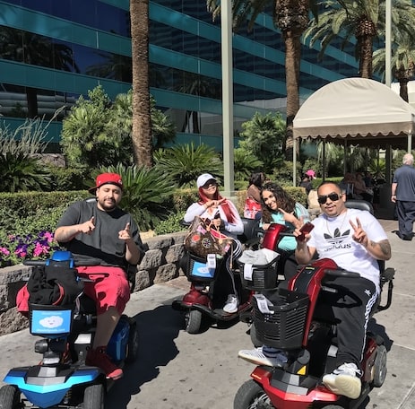
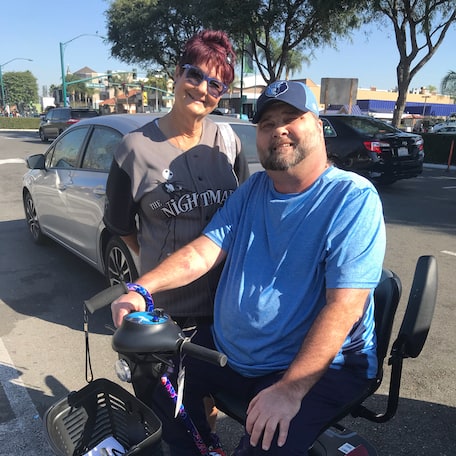
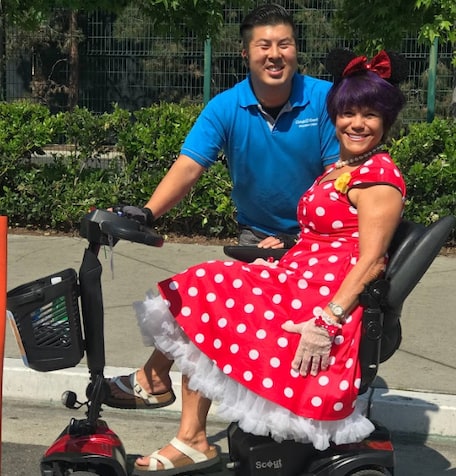
Scooters
Slingshot
Poussettes
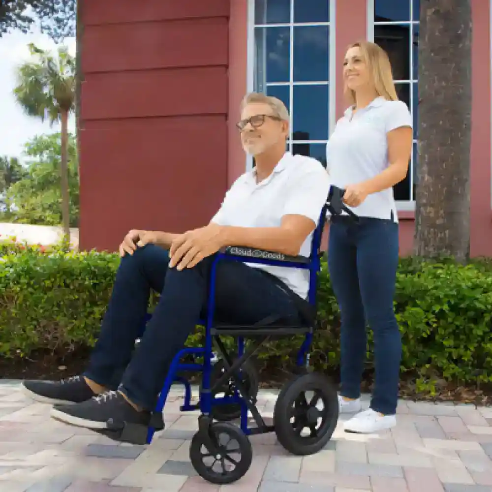
Fauteuils Roulants


-rental-45-1000w-1.webp)


-rental-26-1000w-2.webp)


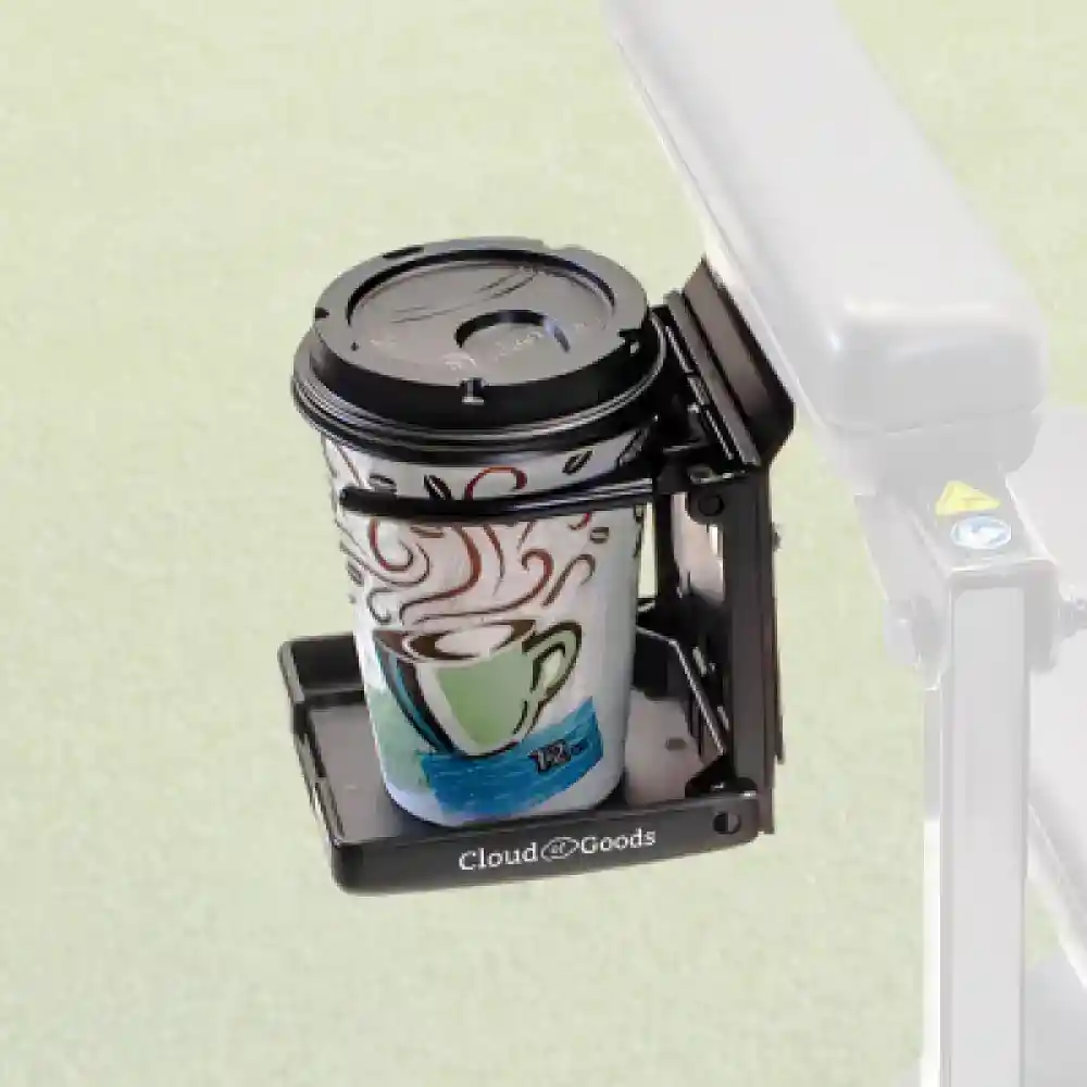
Outils et équipements
Dernière mise à jour March, 2026
Some info has been automatically translated. Show original
×The Ohio and Erie Canal Towpath Trail is a multi-use trail that follows part of the former route of the Ohio & Erie Canal in Northeast Ohio. The trail runs from north to south through Cuyahoga, Summit, Stark, and Tuscarawas Counties. The trail is planned to be 101 miles long and currently 87 miles of the trail are complete. When completed, it will run from Cleveland in the north to New Philadelphia in the south. The Ohio to Erie Trail follows a portion of the towpath trail in Northeast Ohio. The Great American Rail-Trail will follow another portion of the trail, from Clinton southward. The towpath trail has been developed by a number of organizations. It is currently managed by Cleveland Metroparks, Cuyahoga Valley National Park, Summit Metro Parks, Stark Parks, and the Tuscarawas County Park Department. In 2003, The Stark County Park District voted to rename the 25 miles of the trail within Stark County the "Congressman Ralph Regula Towpath Trail". Regula was honored for his support in Congress for the Ohio & Erie National Heritage Canalway. The trail has multiple surface types including asphalt, cement, concrete, crushed limestone and hard-packed earth.
Ajoutez tout l'équipement Ohio & Erie Canal Towpath Trail à votre panier
Remplissez le formulaire de commande avec les dates de location et le lieu de livraison
Effectuez le paiement en ligne pour confirmer votre réservation Ohio & Erie Canal Towpath Trail
Nous livrons votre location de scooter Cleveland dans toutes les maisons de vacances, hôtels et complexes hôteliers Cleveland de la région Cleveland.
Les informations suivantes vous aideront à clarifier certaines questions que vous vous posez sur la location et bien plus encore. Cloud of Goods.